Lady Carnarvon's Blog
- Christmas
- Community
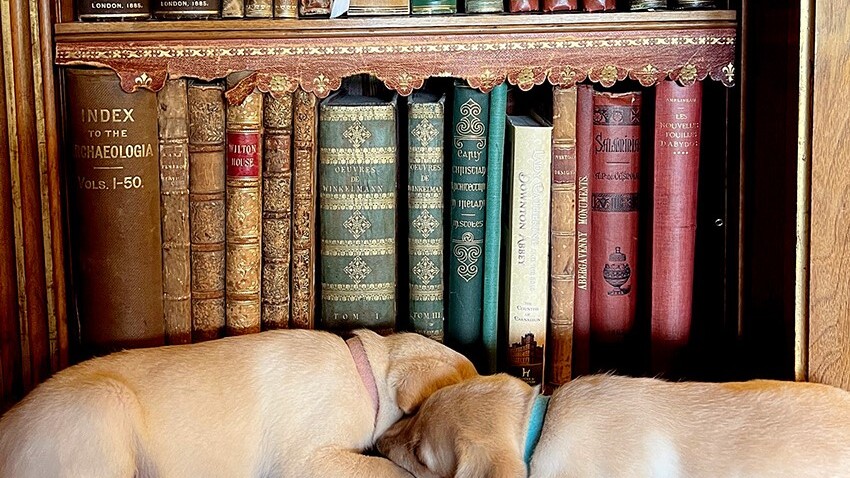
- Dogs & Horses
- Egypt & Tutankhamun
- Entertaining
- Farm
- Filming
- Gardens
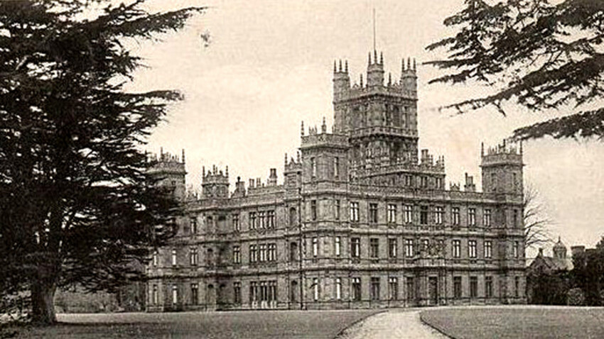
- History & Heritage
- Daily Life
- Royalty
- Cooking
- Interiors
- Heroes
- Architecture
- Cars
- Conservation
- Downton Abbey
- Events
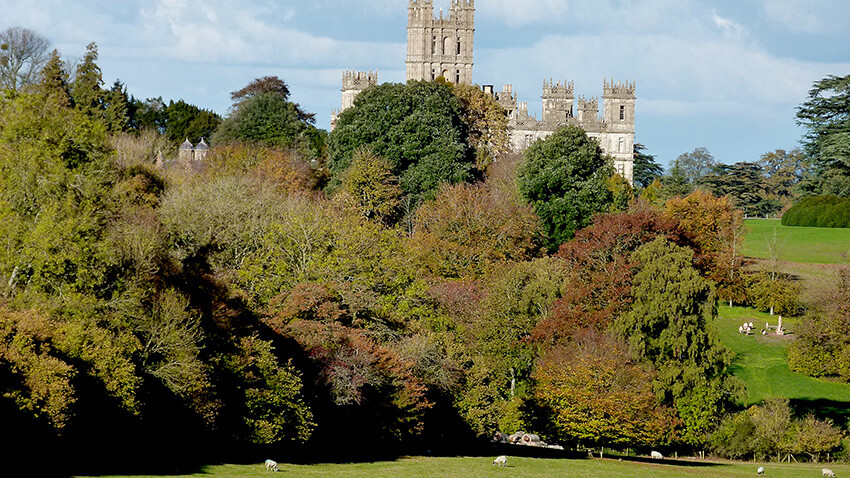
- Gardens & Landscape
- Highclere Castle Gin
- History
- Planes
- Restoration
- Stories & Books
- Uncategorized
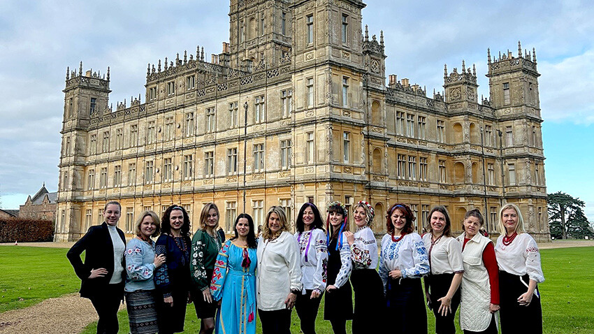
- Visitors
- Wildlife
Monday, 7 July, 2025
ENSA
Monday, 30 June, 2025
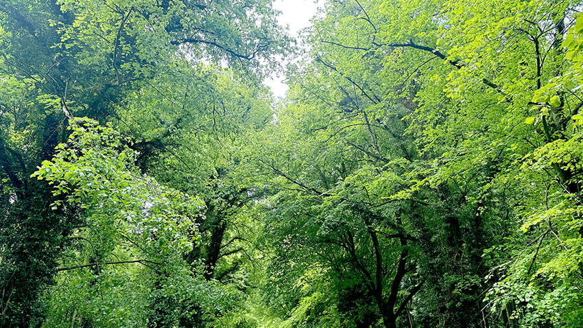
Being Green
Monday, 23 June, 2025
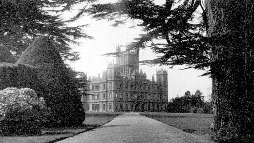
Weathered Faces

Monday, 16 June, 2025
Worth of Paris
Monday, 9 June, 2025
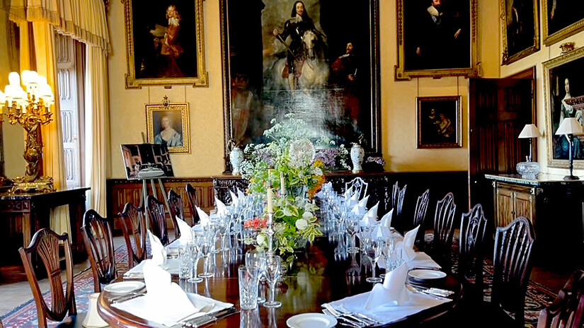
Nostalgia
Monday, 2 June, 2025
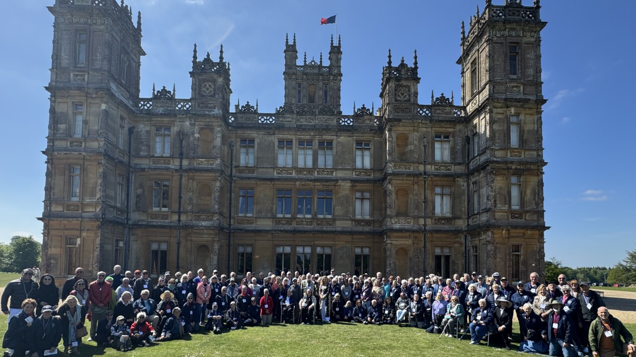
Community

Monday, 26 May, 2025
Mackerel Skies
Monday, 19 May, 2025
Constance Spry

Wednesday, 14 May, 2025
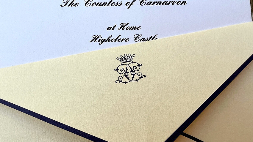
Confetti
Explore Categories
-
 Christmas
 -
 Community
 -
 Dogs & Horses
 -
 Egypt & Tutankhamun
 -
 Entertaining
 -
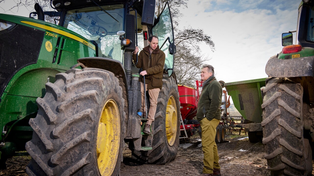 Farm
Farm -
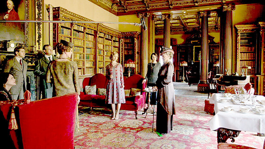 Filming
 -
 Gardens
 -
 History & Heritage
 -
 Daily Life
 -
 Royalty
 -
 Cooking
 -
 Interiors
 -
 Heroes
 -
 Architecture
 -
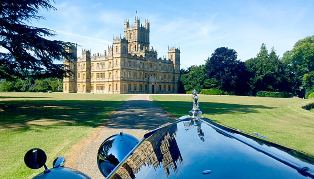
 Cars
Cars -
 Conservation
 -
 Downton Abbey
 -
 Events
 -
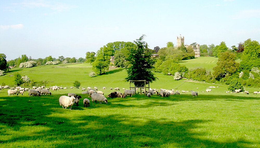
 Gardens & Landscape
 -
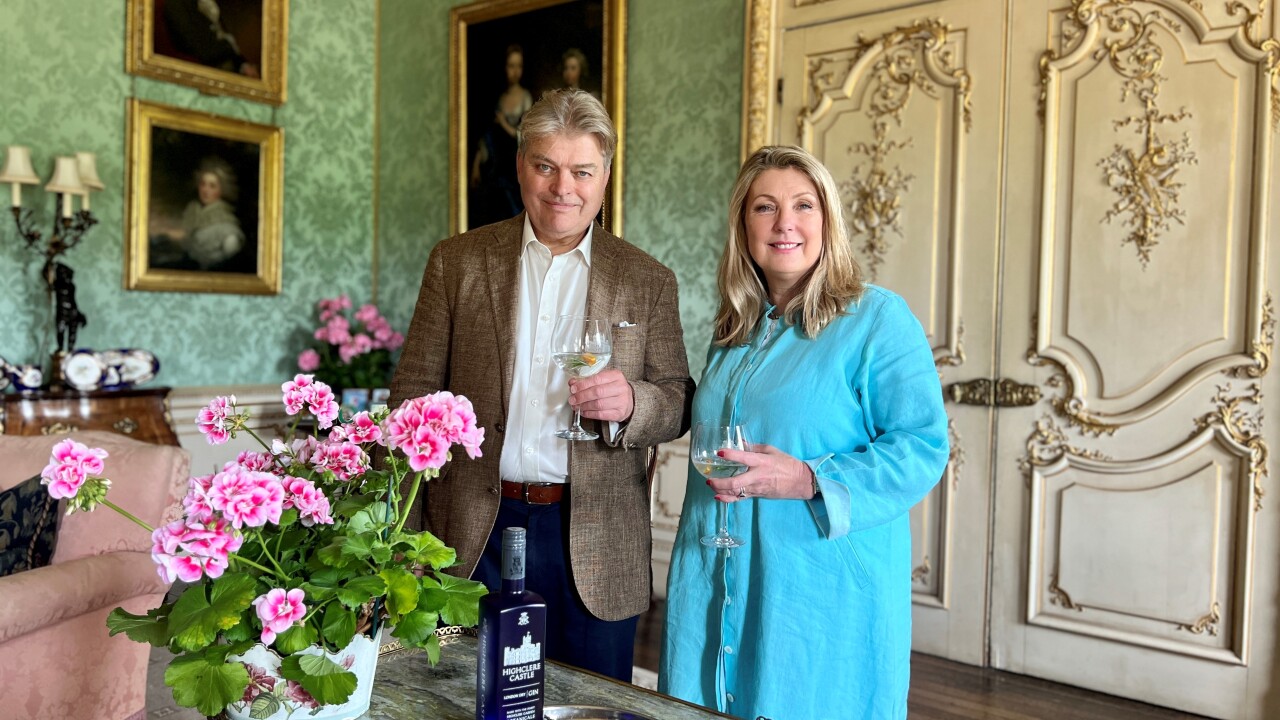 Highclere Castle Gin
 -
 History
 -
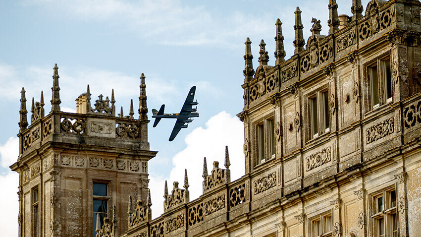 Planes
 -
 Restoration
 -
 Stories & Books
 -
 Uncategorized
 -
 Visitors
 -
 Wildlife